Skip to content
Upper Wapsi River Watershed Logo
  • Water Quality Data
  • News
  • Watershed Management Authority
  • Watershed Plan
    • Community Engagement
    • About the Watershed
      • Communities
      • Geography and Geology
      • Land Cover & Land Use
      • Soils
      • Stream and River Designations
      • Unique Species and Ecosystems
    • Challenges and Opportunities
      • Increased Flooding Frequency
      • Flood Forecasting
      • Watershed Resiliency
      • Impacts of Flooding
      • Sourcewater
      • Nutrient Transport
    • Upper Wapsipinicon Subwatersheds
    • Analysis, Research, and Modeling
    • Objectives, Strategies, and Actions
    • Appendices
  • Quasqueton Flood Resilience Action Plan

Upper Wapsi Landowner Information Meetings

  1. Home
  2. Uncategorized
  3. Upper Wapsi Landowner Information Meetings
Previous Next

Upper Wapsi Landowner Information Meetings

By admin|2018-02-23T11:25:17-05:00February 23rd, 2018|Categories: Uncategorized|Comments Off on Upper Wapsi Landowner Information Meetings

Share This Story, Choose Your Platform!

FacebookXRedditLinkedInPinterestVk

About the Author: admin

Related Posts

Join Us for an Upper Wapsi IWA Project Tour
Gallery

Join Us for an Upper Wapsi IWA Project Tour

May 20th, 2022
Upper Wapsi BID 008 Now Open!
Gallery

Upper Wapsi BID 008 Now Open!

October 1st, 2021
Quasqueton, Iowa Flood Resilience Action Plan Now Available
Gallery

Quasqueton, Iowa Flood Resilience Action Plan Now Available

August 10th, 2021
Upper Wapsi WMA BID Packet 007 Now Open!
Gallery

Upper Wapsi WMA BID Packet 007 Now Open!

August 3rd, 2021
UW-006_BID Now Open!
Gallery

UW-006_BID Now Open!

May 24th, 2021

Resilience Plan

  • Watershed Plan
    • 1 Community Engagement
    • 2 About the Watershed
      • 2.1 Communities
      • 2.2 Geography and Geology
      • 2.3 Land Cover & Land Use
      • 2.4 Soils
      • 2.5 Stream and River Designations
      • 2.6 Unique Species and Ecosystems
    • 3 Challenges and Opportunities
      • 3.1 Increased Flooding Frequency
      • 3.2 Flood Forecasting
      • 3.3 Watershed Resiliency
      • 3.4 Impacts of Flooding
      • 3.5 Sourcewater
      • 3.6 Water Quality
      • 3.7 Nutrient Transport
    • 4 Upper Wapsipinicon Subwatersheds
    • 5 Analysis, Research, and Modeling
    • 6 Objectives, Strategies, and Actions
    • 7 Appendices

Recent Posts

  • Join Us for an Upper Wapsi IWA Project Tour
  • Upper Wapsi BID 008 Now Open!
  • Quasqueton, Iowa Flood Resilience Action Plan Now Available
  • Upper Wapsi WMA BID Packet 007 Now Open!
  • UW-006_BID Now Open!

WMA Email List Signup

Site Management

  • Log in
Site by Northeast Iowa RC&D | Powered by WordPress
Toggle Sliding Bar Area

The Wapsipinicon River

The Wapsipinicon River stretches over 290 miles from the Iowa/Minnesota border all the way to the Mississippi River near Clinton, Iowa. Although it only extends two miles into Minnesota, the Wapsipinicon River is the fifth largest Iowa tributary of the Mississippi, being surpassed in length only by the Des Moines, Cedar, Iowa, and Skunk rivers. It is a long narrow watershed that for 180 miles averages barely more than 15 miles wide and thus it has no major tributary.

——————————————————————————

Even though it is narrow, this watershed covers 4.5% of Iowa. The Wapsipinicon River boasts the longest, continuous stretch of natural and scenic river corridor in the Iowan Surface Region of Iowa. Much of that river corridor is in public ownership and dominated by wooded wetlands and riparian forests that provide habitat for birds, reptiles and other animal species, as well as birders, boaters, paddlers and anglers.

The Upper Wapsi

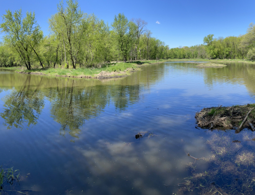
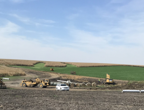
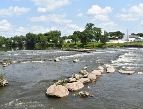
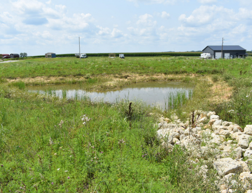
The Upper Wapsipinicon River, or Upper Wapsi, is a section that includes the 270 miles of river above Anamosa, Iowa. The Upper Wapsi Watershed drains over 1 million acres and encompasses all or portions of 11 counties, 27 communities, 17 unincorporated villages, 120 lakes and 8 major rivers and streams totaling over 2,000 river miles.

Page load link
Go to Top