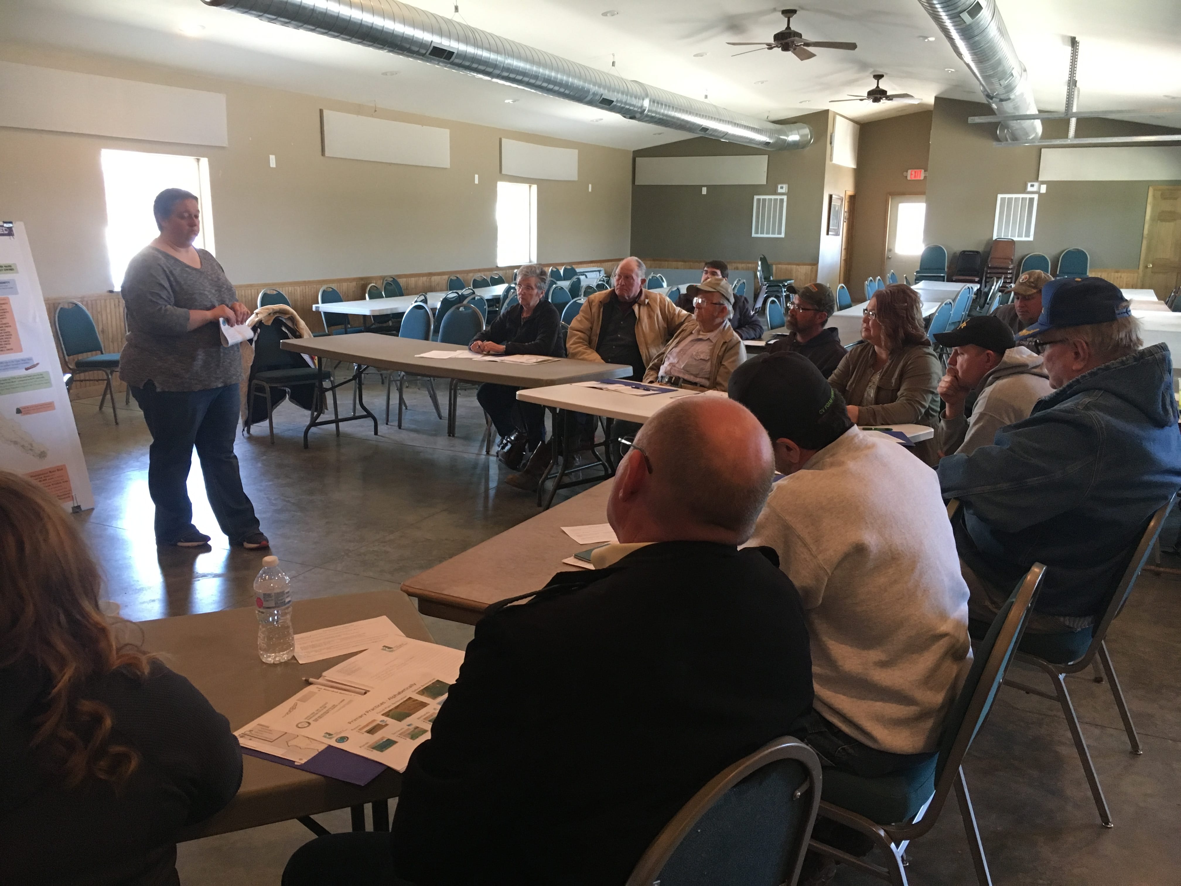
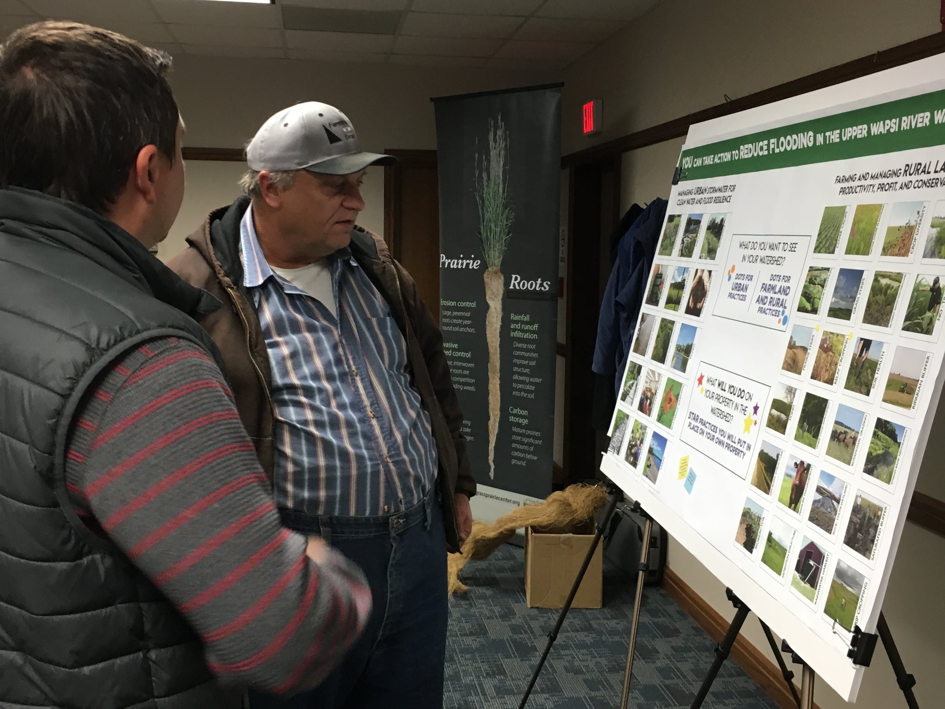
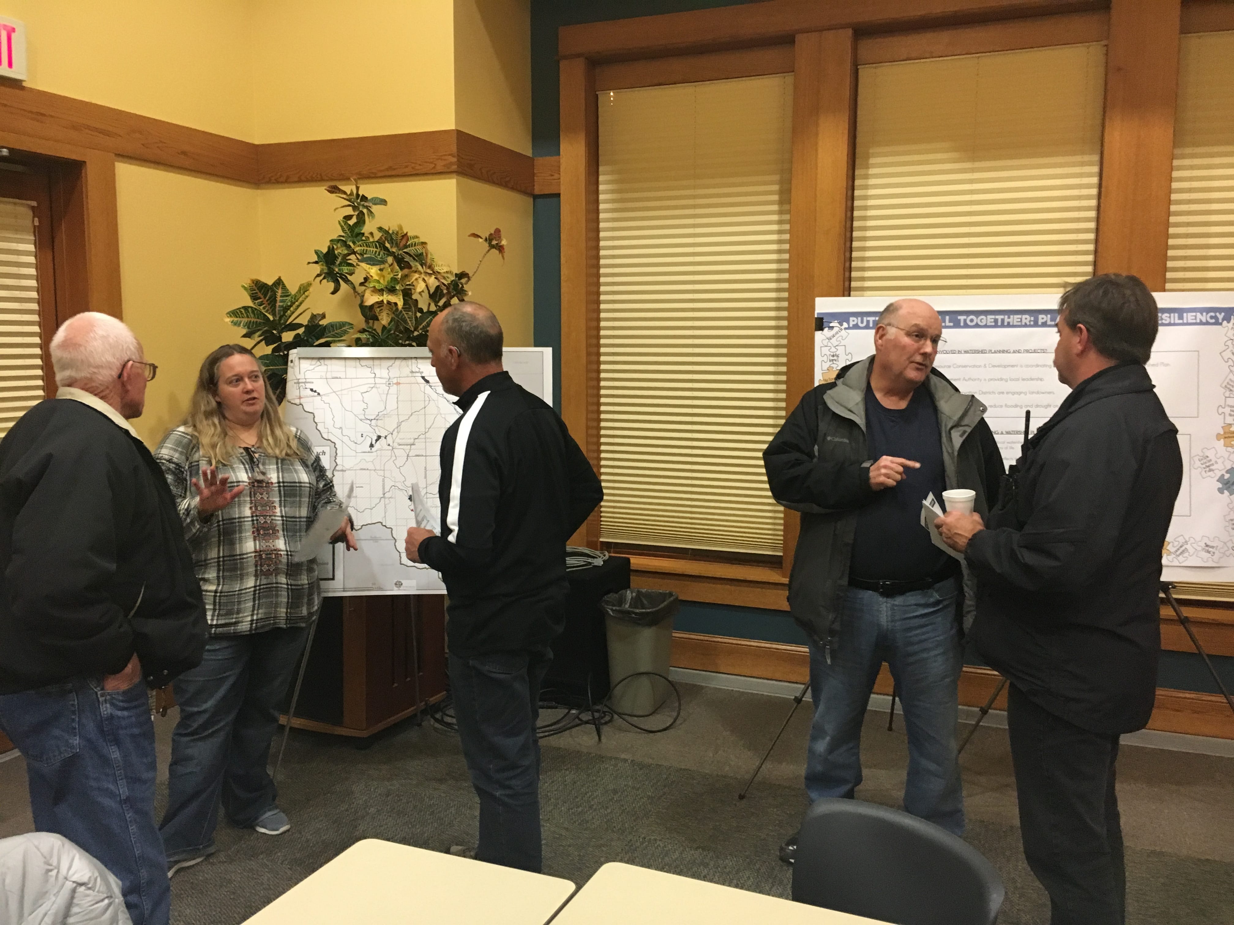
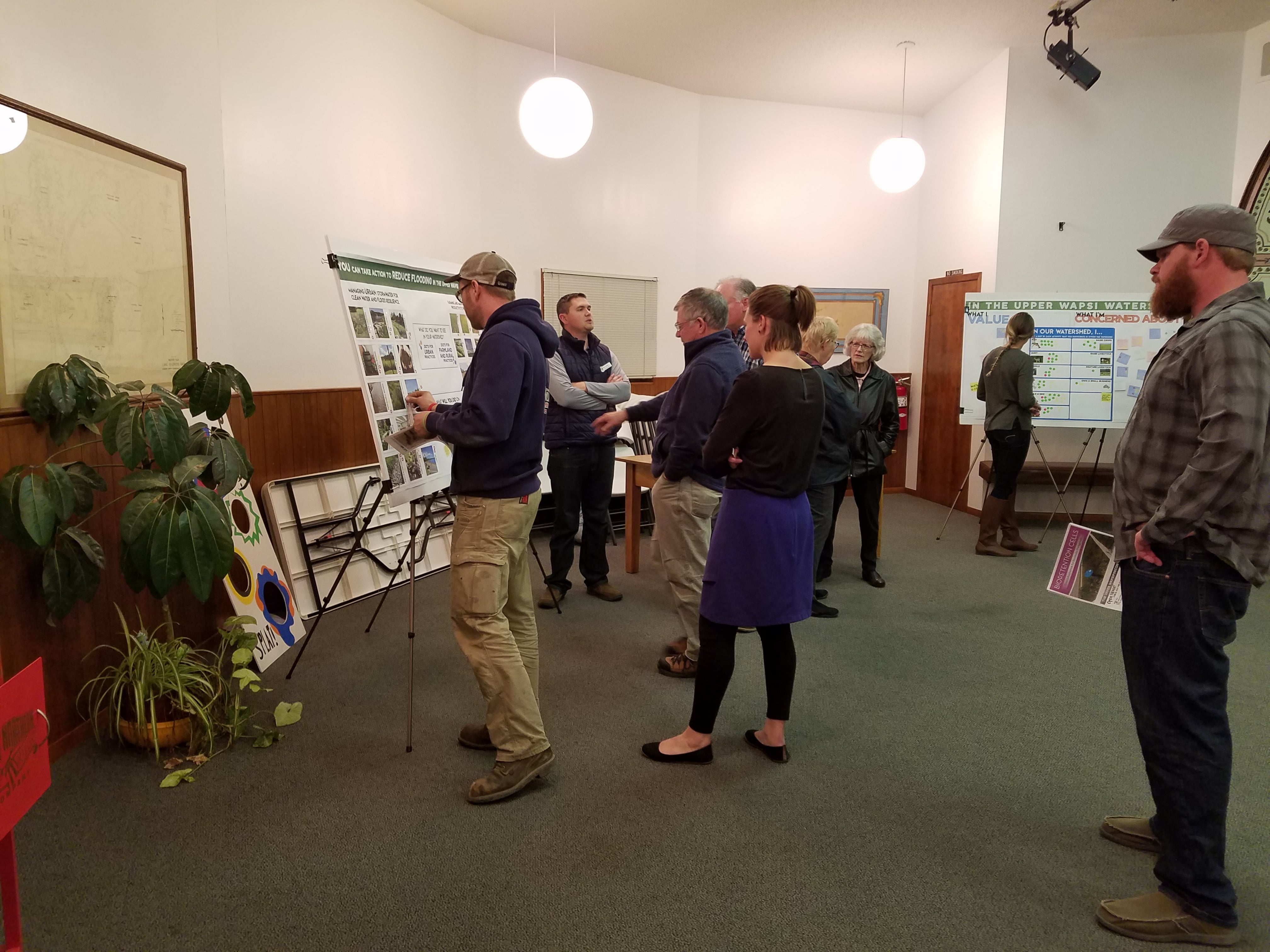
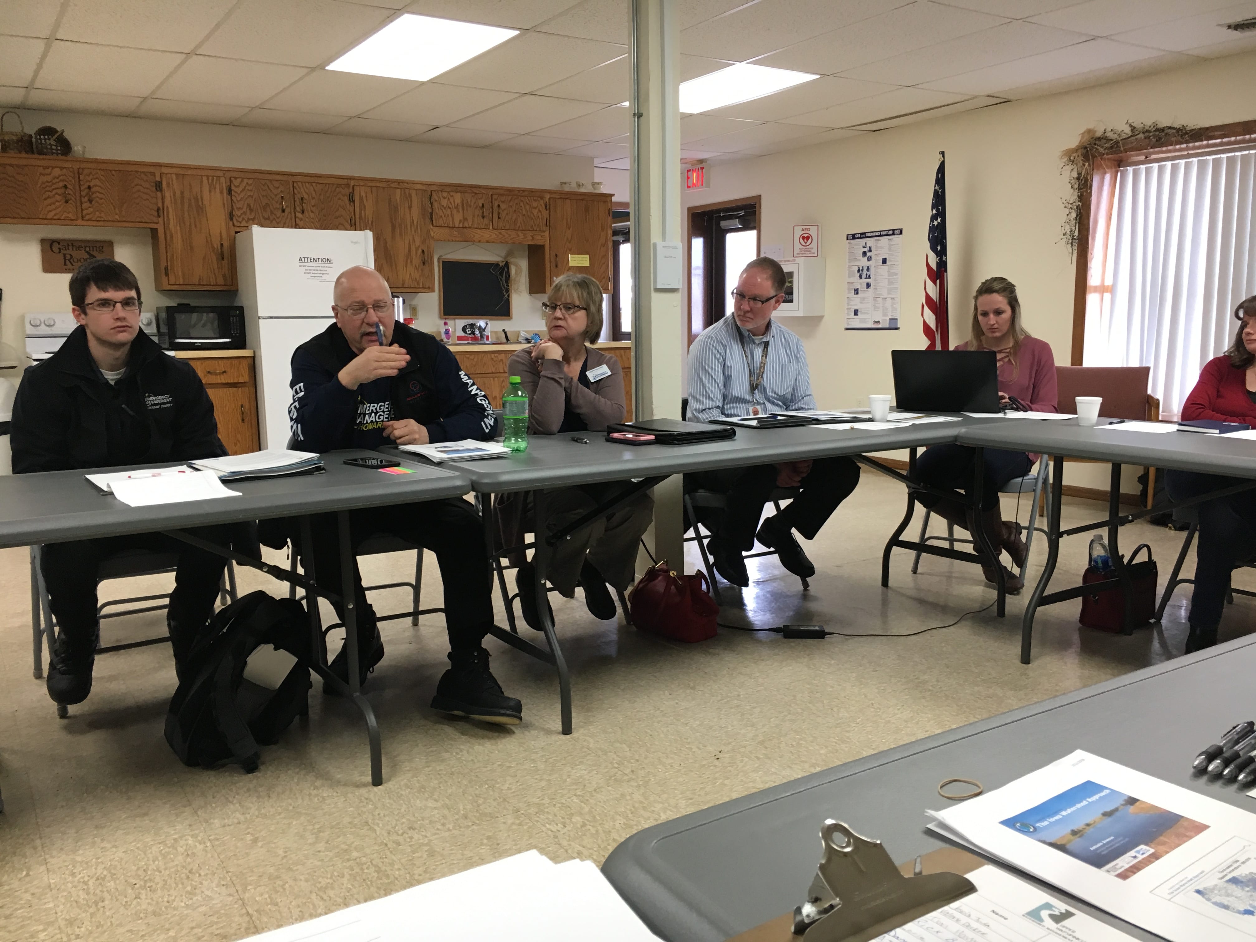
The Upper Wapsi River Watershed Resiliency Plan was developed by Northeast Iowa RC&D on behalf of the Upper Wapsi River Watershed Management Authority (WMA) Board between February 2017 to July 2019 with input from dozens of contributing partners who conducted research, analyzed opportunities, facilitated public input and recommended strategies and actions. The WMA Board assisted with many aspects of the plan’s development, including community outreach, engagement, and education, as well as content development and review. They ultimately approved the plan and continue to actively work toward its implementation.
The WMA Board believes that the WMA Resiliency Plan will help them achieve the following goals:
Goals
- Address flooding and water quality concerns and encourage a comprehensive, multi-objective planning approach to watershed management that fosters understanding and use of SMART Planning Principles, and adds value to watershed management.
- Promote and communicate the mission and goals of the Watershed Management Authority. This should be directed to potential WMA partners (cities, counties, and SWCDs), groups with specific interest in flood control and water quality, state political leaders, and the general public.
- Implement a Comprehensive Program of targeted actions designed to reduce flood risk and improve water quality in the Upper Wapsipinicon River Watershed.
- Evaluate the Watershed Authority’s effectiveness.
The development of the plan was made possible by the vision and dedication of the partners associated with the Iowa Watershed Approach and a Disaster Resiliency Grant provided through the Iowa Economic Development Authority and the U.S. Department of Housing and Urban Development (HUD).
Executive Summary
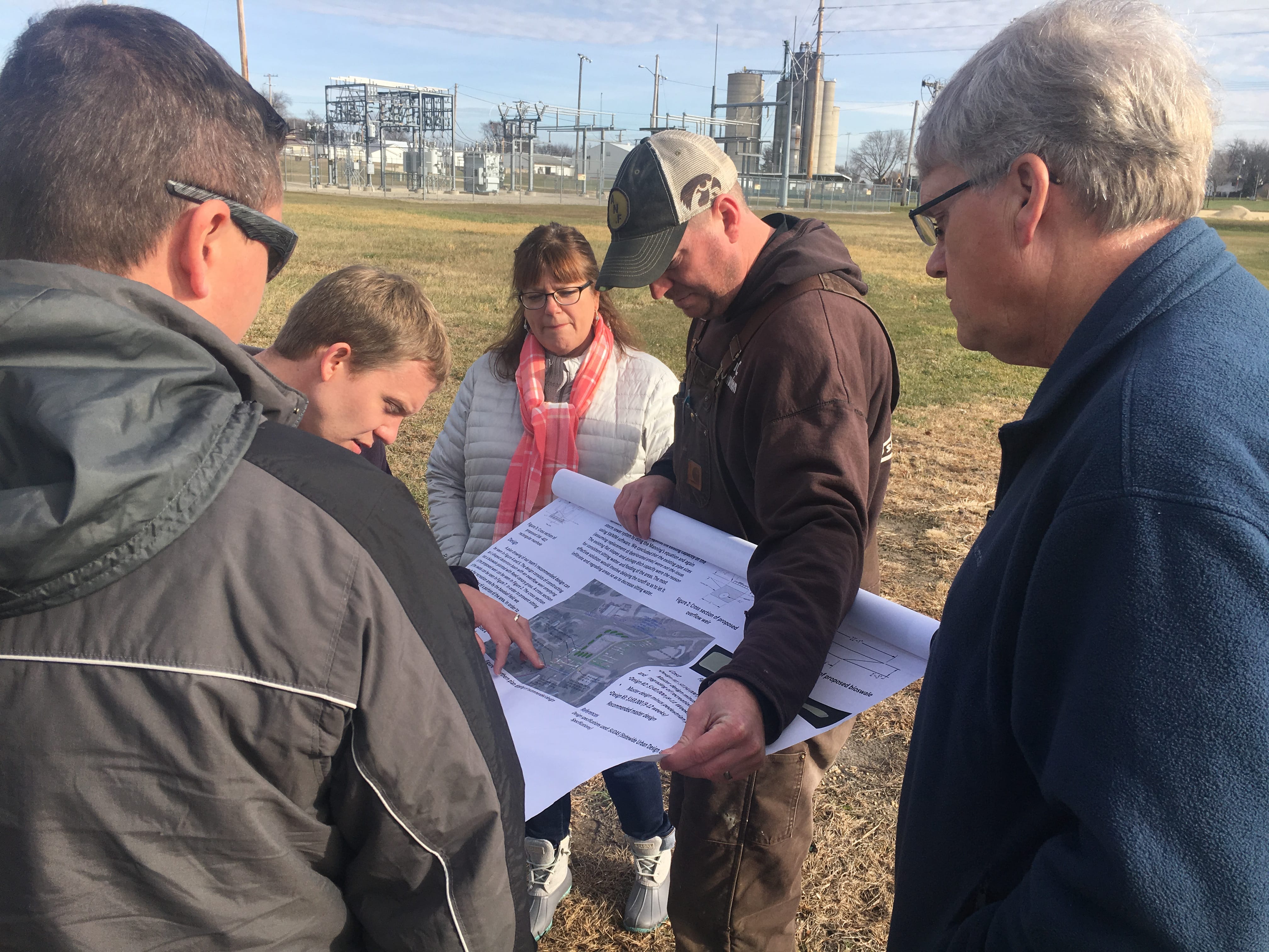
The UWR WMA Resiliency Plan includes thorough analysis of the characteristics of the Upper Wapsi Watershed. The analyses were conducted by several different partners and then brought together and carefully considered, both independently and in relation to each other, in order to better help the Upper Wapsi WMA Board and partners set goals, develop strategic objectives, and make recommendations for implementation of geographically sound strategies. The analyses considered the hydrology, soils, geology, land use, topography, stream and river designations, climate and rainfall patterns, road and bridge infrastructure, community stormwater management, and other watershed characteristics. New data sets and ArcGIS tools were utilized to identify the existing and potential structural conservation practices and other spatially relevant data.
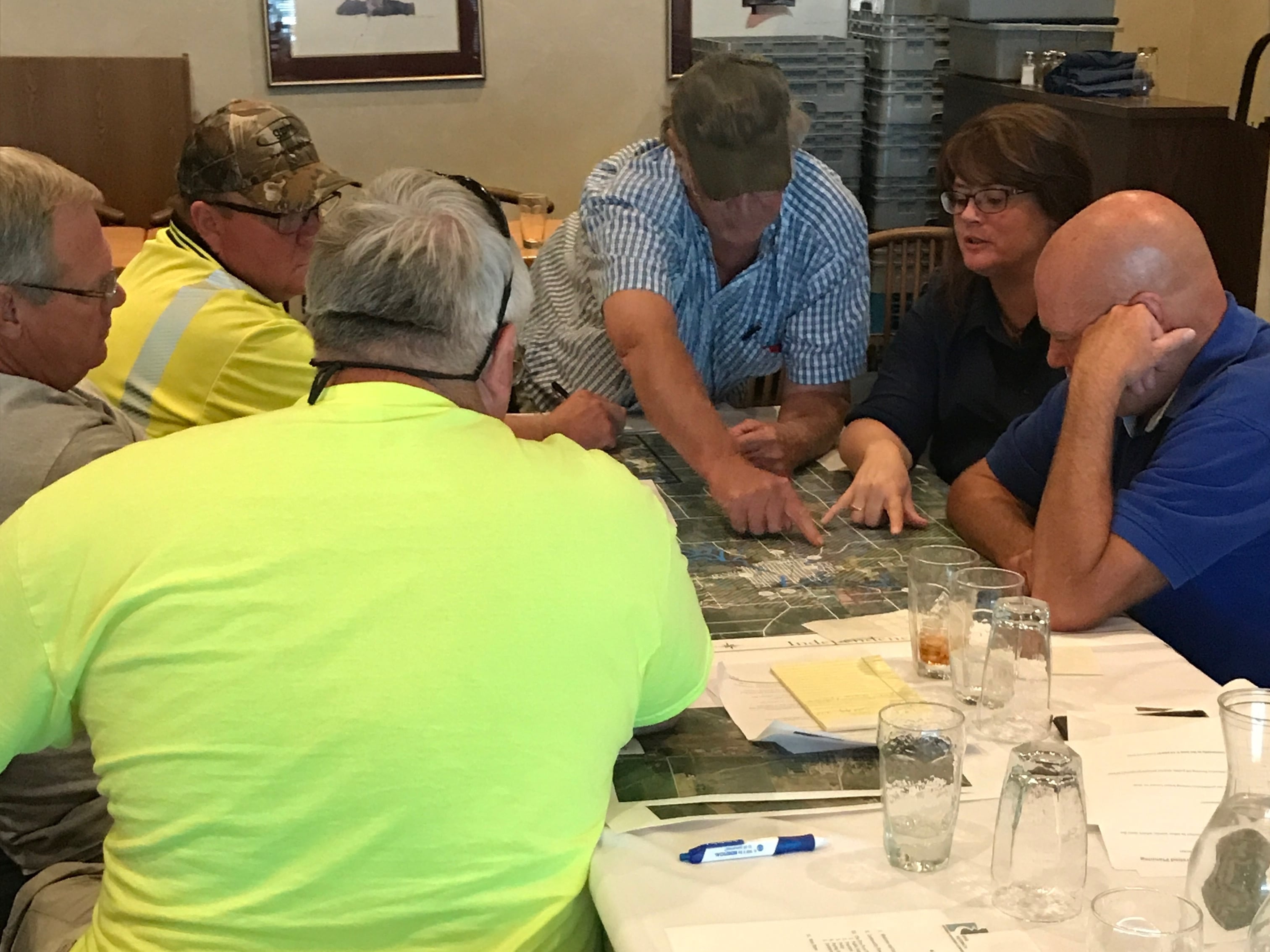
Although the Upper Wapsi Watershed was considered as one a large basin, detailed consideration for smaller sub-basins or subwatersheds was essential to the analysis and planning as it set the stage for partners to make implementation more likely. Although new support for large watershed projects has emerged in recent years, many of the existing state and federal programs that could provide funding for voluntary implementation of conservation practices on private lands are targeted toward smaller basins. The UWR Watershed encompasses more than a million acres, so consideration for subwatersheds also provides a starting point for watershed residents who want to better understand their place in the Upper Wapsi Watershed and how they and other watershed residents and partners can work together to improve resiliency.
Hydrologic modeling conducted by the Iowa Flood Center helped the partners understand the extent of the effort that will be needed to effect real change. The social, cultural and community assessments and considerations that other partners completed will ultimately increase watershed resiliency in a way that will have a lasting and positive impact on current and future generations of watershed residents, including the most vulnerable populations.
The Upper Wapsi WMA Plan is not intended to be implemented by one entity. It is a blueprint for public and private investment, partnerships and projects. It recognizes the many agencies and other plans influence and dictate solutions as well as both urban and rural funding streams. It includes urban and rural strategies and recognizes that the first “defense” is sometimes the simplest and most affordable strategy but that such a strategy may have to be implemented by the greatest number of watershed residents. Holding as much rainfall where it falls and nutrients where they are needed through improved soil health, diversified land cover, and other private lands conservation practices is essential. The Plan recognizes that as rainfall events increase in intensity, implementation of many different strategies that increase stormwater runoff storage and protect stream and river corridors will become more and more important for true watershed resiliency.
Support and encouragement for development of the Upper Wapsi River Watershed Resiliency Network, a multi-agency organization that fosters information sharing and maximizes implementation of this plan, is a key objective of the plan and must occur for true progress to be made. Implementation of education and outreach by public and private partners throughout the watershed, continued research and analysis, use of new analytical tools as they become available, periodic evaluation, and even recognition of accomplishments, are also essential to success.