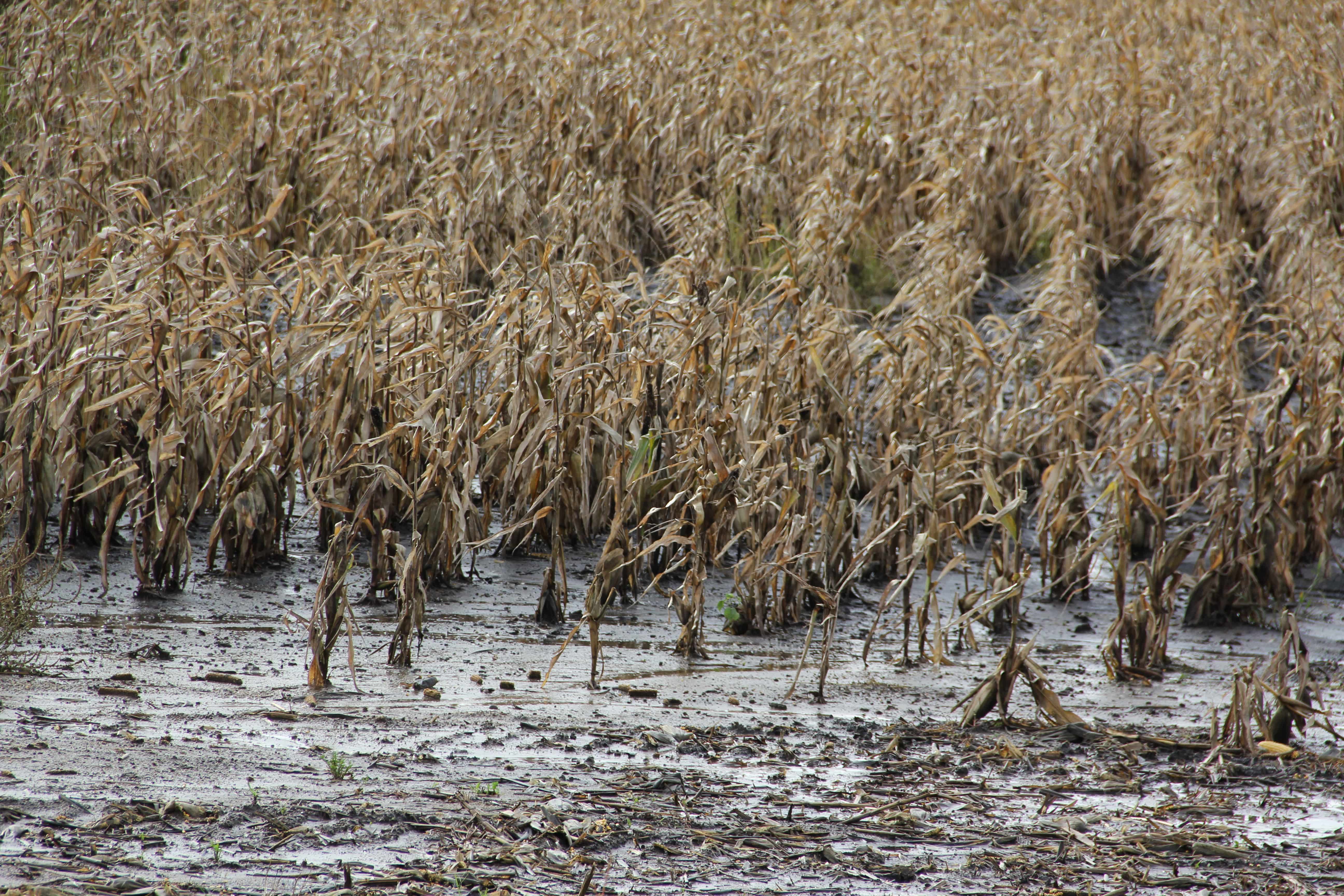
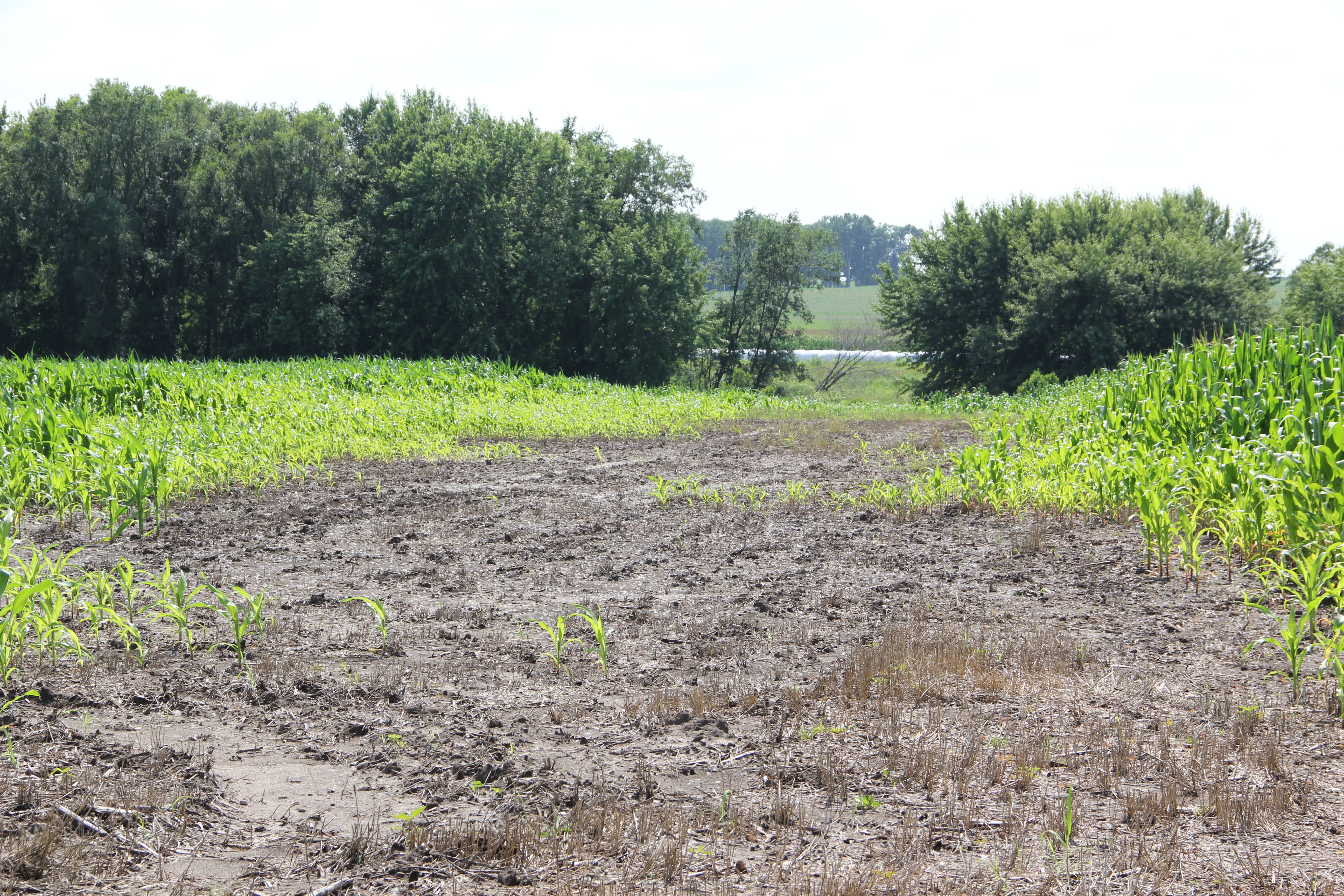
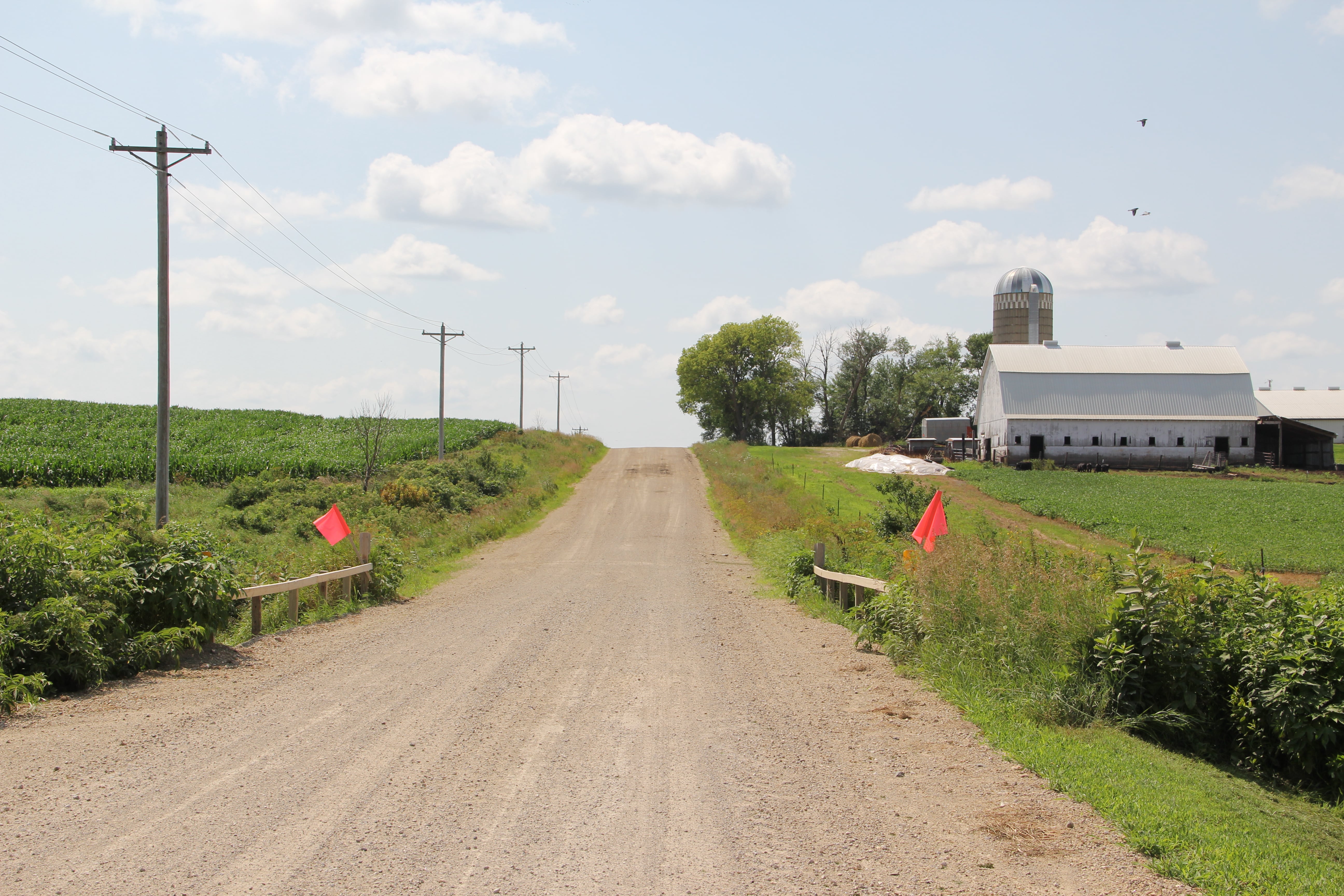
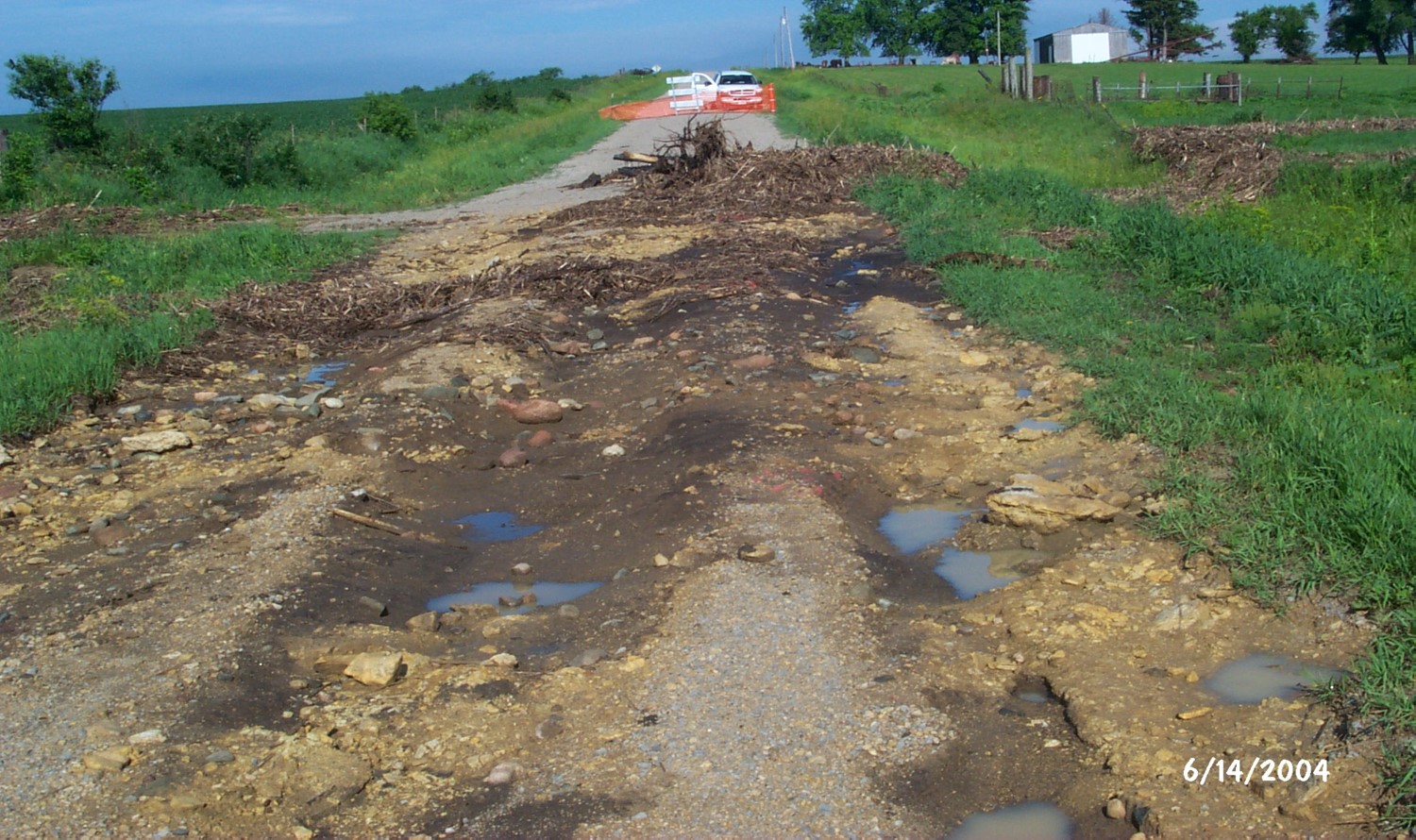
Unique physical and geologic characteristics, human/landscape relationships, and changing climate conditions create complex challenges for UWR Watershed residents and resource managers. For better or worse, humans have altered nearly 100% of the UWR Watershed landscape in some way. Some of the most obvious human-induced changes to the UWR Watershed landscape includes conversion of native prairies, wetlands, and woodlands to agricultural production. Urbanization, transportation infrastructure development, resource extraction, rural and urban waste management, small and large landscape alterations, and implementation of conservation practices have also changed or influenced the hydrologic system. More information about the history of land use in the UWR Watershed is available on the Land Cover & Land Use page.
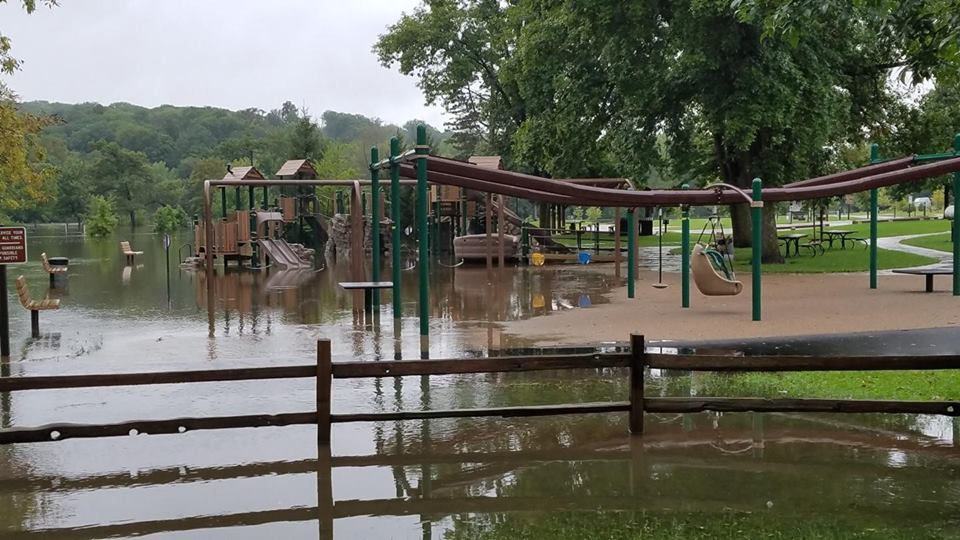
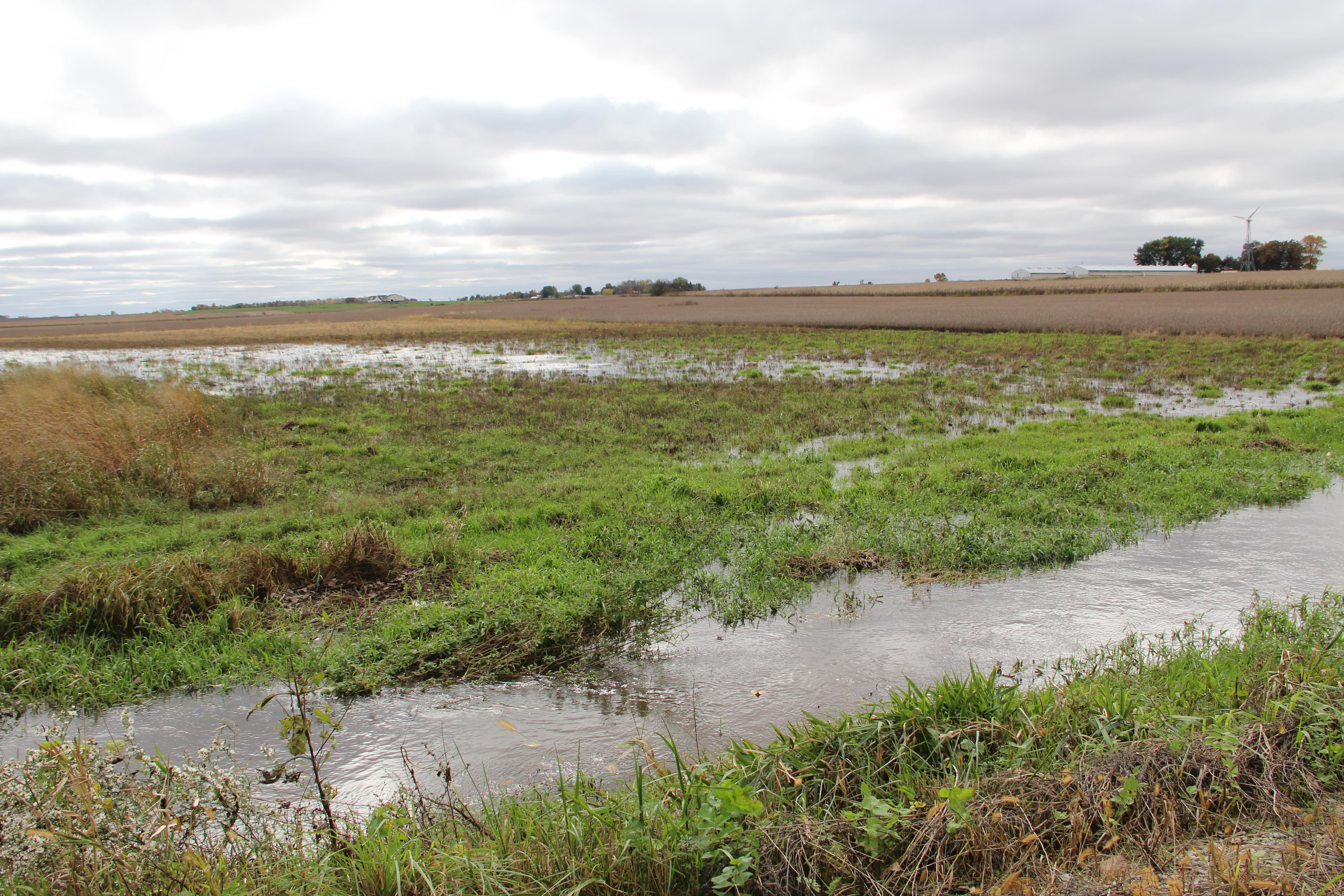
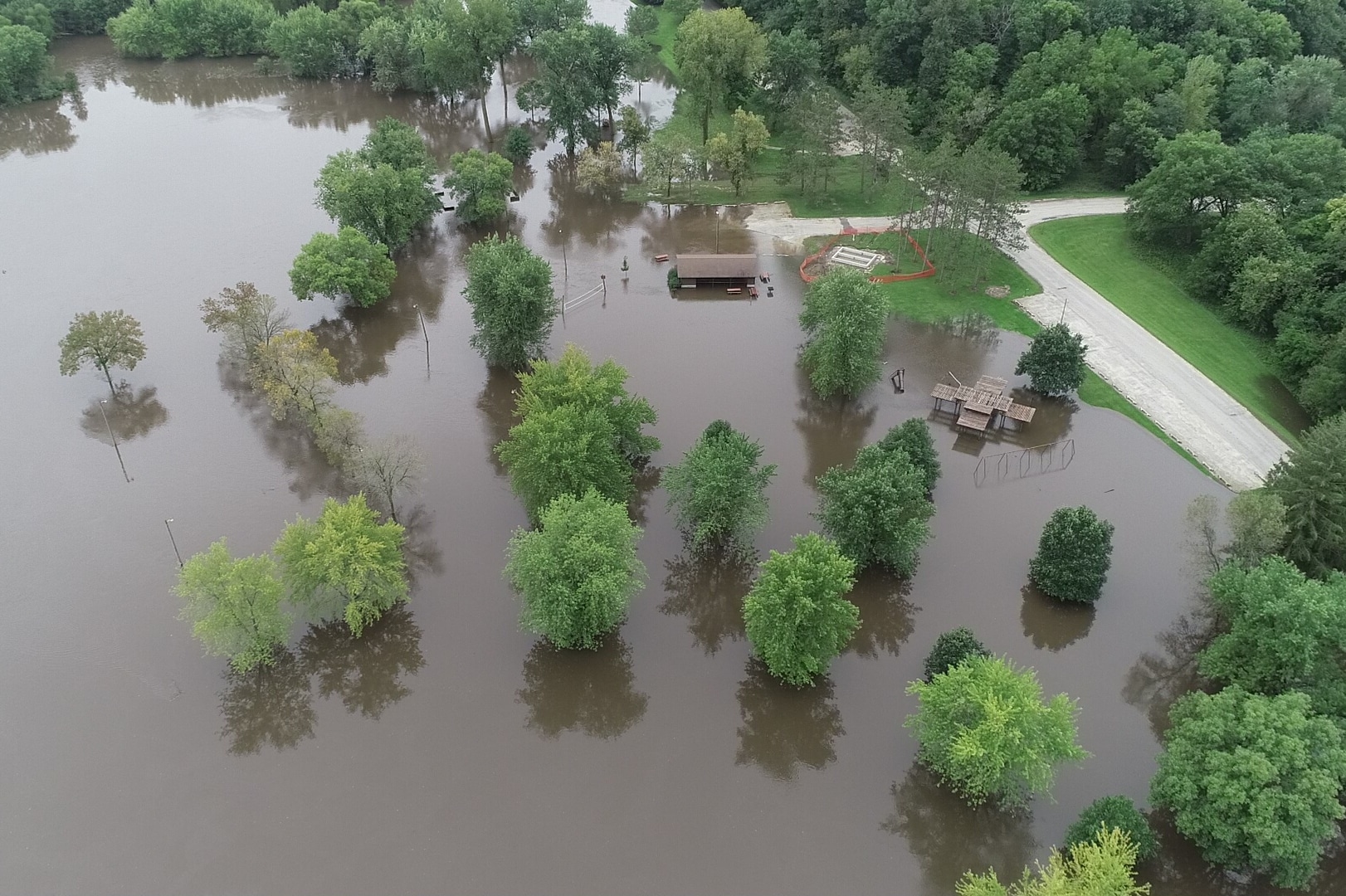
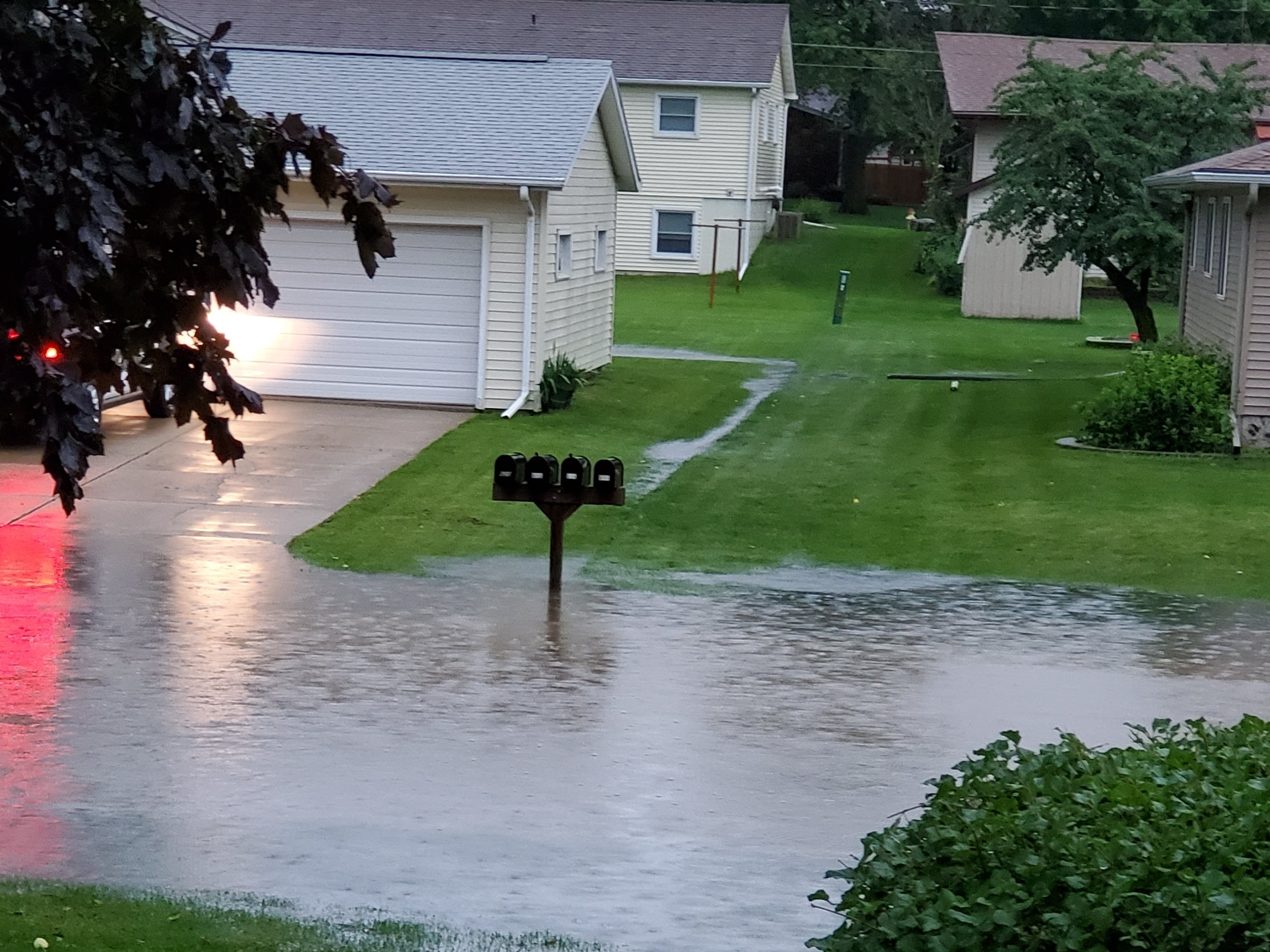
Local watershed changes are compounded when combined with changing global climate conditions. Rising temperatures and changing rainfall patterns, in conjunction with local and regional human-induced changes are impacting the hydrologic and physiologic conditions of the watershed. At the same time, existing and proposed conservation programs and incentives, as well as an increased public understanding and awareness of watershed function and hydrology, provide opportunities for producers and other watershed residents.
Although land use, rainfall patterns and hydrological and physiologic conditions in the UWR Watershed have created challenges, there are political, social and demographic issues that have historically prevented and continue to inhibit the implementation of conservation and resiliency strategies. Each of the UWR Watershed counties, as well as the watershed residents within each county, face different watershed and conservation challenges associated with the spatial distribution of the population within communities, the landscape and the watershed; political boundaries and related policy and program conflicts; and social, economic and the related spatial distribution and resiliency issues. Even the number of producers within a county who are living and/or operating within the watershed verse the number of absentee landowners; the percentage and landscape position of the watershed within each county; the percentage of the county encompassed by the watershed; and the number of total acres each county has in the watershed, can impact funding availability, strategy implementation and conservation practice participation. Some of the watershed attributes are shown by county in Table: UWR Watershed Percentages and Acres by County.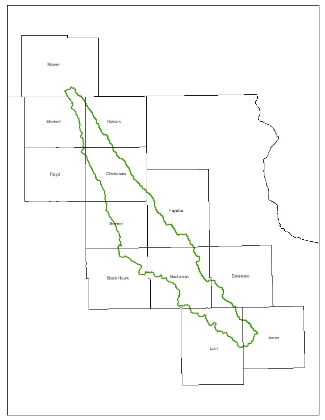
One of the greatest challenges to restoration and resiliency that the UWR Watershed faces is its shape and the resulting fragmentation of unity created by the number of political subdivisions within its borders. They combine to fragment ownership and destroy public and private responsibility. The UWR Watershed is a long, narrow, rural watershed with the population spread out across the landscape. Although the watershed encompasses twenty-seven small towns in twelve different counties, it only encompasses more than 50% of three counties, Chickasaw, Bremer, and Buchanan. The other nine counties have smaller overall percentages of their county in the UWR Watershed and fewer producers from their county within the UWR Watershed boundary. Targeted state and federal watershed grants to SWCDs for traditional watershed projects that would provide financial and technical assistance to help producers implement conservation have been prioritized to higher-profile watersheds in all but two counties, Buchanan and more recently Bremer. As a result, although their land use and conservation decisions greatly impact downstream counties and producers, the landowners who could implement flood prevention and water quality best management practices in ten of the twelve UWR Watershed counties have been virtually ignored. County SWCD resources, including technical assistance and financial incentives in Minnesota and Iowa counties, have primarily been targeted to the producers in the Cedar River, Turkey River or Upper Iowa River watersheds instead.
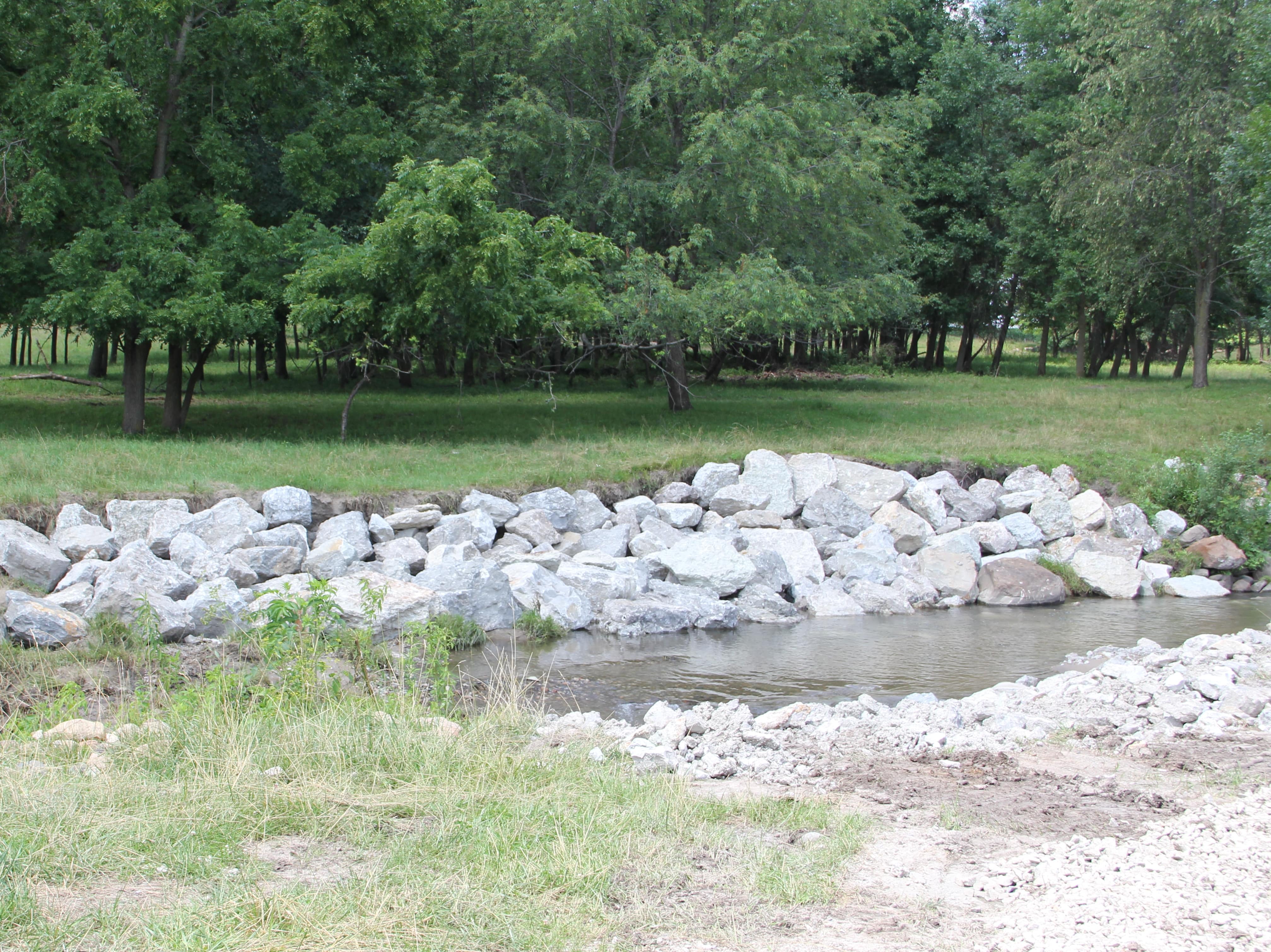
Buchanan County SWCD is the only county to report having completed HUC 12 watershed projects anywhere in the UWR Watershed. They implemented two projects in Buffalo Creek. (Find project details in any of the impacted HUC 12 Watersheds: Helmer Creek-Buffalo Creek, Nugents Creek-Buffalo Creek, Silver Creek-Buffalo Creek, or Village of Winthrop-Buffalo Creek.) Bremer County recently began a HUC 12 watershed project in Upper Crane Creek. No other SWCDs in the watershed report developing or working on a HUC 12 subwatershed project in the UWR Watershed. Expecting improvements in water quality, flooding or resiliency in a large river system like the UWR Watershed when technical and financial assistance is focused on one or two smaller subwatersheds is unrealistic.
As a result of the formation of the Upper Wapsi River Watershed Management Authority (WMA), there is ongoing technical and financial assistance being provided to three additional subwatersheds in the UWR Watershed through the Iowa Watershed Approach Project. These projects are occurring in Sand Creek (Buchanan County), Smith Creek-Wapsipnicon (Buchanan County), Dry Creek-Wapsipinicon (Buchanan County) and Nugents Creek-Buffalo Creek (Delaware County) These projects are made possible through a partnership between the Iowa Economic Development Authority, the Iowa Flood Center, the Upper Wapsi River WMA, Howard County Board of Supervisors, the Buchanan County SWCD, and other participants in the Iowa Watershed Approach Project. These HUC 12 subwatershed projects would not have happened without the formation of the WMA. Therefore, the WMA has already and will continue to provide an opportunity to overcome the challenges presented by the shape and political boundaries associated with the UWR Watershed. The WMA can rally SWCDs within the watershed to adopt county and/or multi-county subwatershed projects and work to secure funding for subwatershed or watershed-wide projects themselves.
UWR Watershed Percentages and Acres by County
| County | County Acres | Watershed Acres in County | % County in UWRW | % UWRW in County |
|---|---|---|---|---|
| Howard | 302,992.5 | 59,680.5 | 19.7% | 5.9% |
| Mitchell | 300,387.5 | 35,268.2 | 11.7% | 3.5% |
| Chickasaw | 323,541.7 | 193,346 | 59.8% | 19.3% |
| Floyd | 320,710 | 1,744.8 | 0.5% | 0.2% |
| Fayette | 467,784 | 111,268 | 23.8% | 11.1% |
| Bremer | 280,980.7 | 152,404 | 54.2% | 15.2% |
| Delaware | 370,423.8 | 32,445.1 | 8.8% | 3.2% |
| Buchanan | 366,613.3 | 244,845 | 66.8% | 24.4% |
| Black Hawk | 366,274.8 | 43,292.5 | 11.8% | 4.3% |
| Jones | 369,169.7 | 23,692.1 | 6.4% | 2.4% |
| Linn | 463,548.9 | 96,504.2 | 20.8% | 9.6% |
| Mower (MN) | 455,010.0 | 8,345 | 1.9% | 0.9% |